
Novelty architecture -- that deliciously retro fad of creating buildings in the shape of inanimate objects -- is usually associated with Southern California. And it's true, some of the most stunning examples of this style can be found in and around Los Angeles. While Northern California might lack a donut hole drive-in, we still have some great examples of the art form. So here's a map to examples of novelty architecture in Northern California (and the northern half of Central California).
Some notes on what I've included -- or decided to exclude -- in this map.
There are a lot of buildings with giant novelty sculptures in front or on the roof -- think the iconic fiberglass Muffler Man statue. Unless they're fully integrated into the architecture of said building, I've decided to leave those examples off this map.
I haven't included any examples from amusement parks. For some reason they seem less "pure" because we expect magic and whimsy from these places. Personally, I think the power of novelty architecture resides in how it brings those elements into the everyday world, so I've decided to focus on those examples instead.
I'm still going back and forth on this, but as of writing, I have NOT included any buildings in the shape of castles. In part because there are a lot of them and I did not want to overwhelm and dilute the rest of the map.
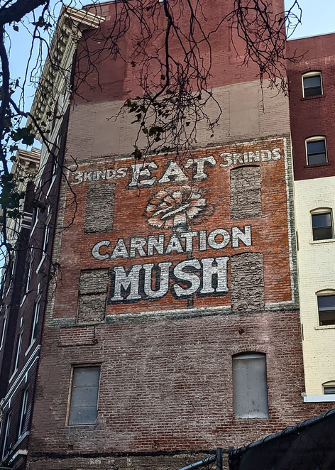
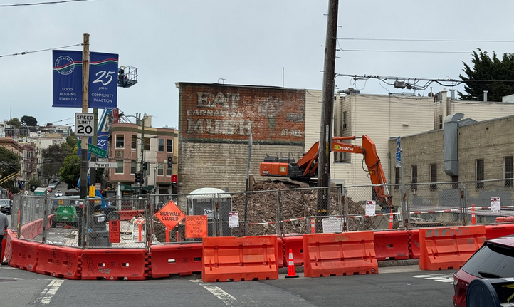
While not technically novelty architecture, I feel like repurposed boats, trains, buses, and cable cars are a spiritual twin to the art form. Hence I have decided to include them here.
Did I leave any examples off? Do you have any thoughts/opinions on what I've decided to exclude? Let me know!


